
Search a Yucaipa Street Parcel by Parcel
A street directory search is strongest when each address gets its own record row. Start with one exact situs address in San Bernardino County Assessor Parcel Access. Save the APN, roll owner, legal or subdivision description, and any public mailing destination. The county GIS map then lets the searcher click adjacent parcels and walk both sides of a block. The recorder cannot begin with the street address, so the assessor-to-recorder bridge is essential. A deed records a transfer. It does not prove that every person at the address is a resident.
Keep the roles separate as the chain grows. The assessor identifies a parcel and assessment-roll owner. The GIS viewer shows geometry and context. Permit Exchange shows a project or code event. A historic directory may list an adult at a dated address. A restricted voter file is not an ordinary public street list. This workflow produces useful address evidence without turning inference into a household claim.
- Normalize the address, then search it in Assessor Parcel Access and record the APN and situs.
- Open the county parcel map, click the target lot, and note adjoining parcel numbers and legal descriptions.
- Search the current roll owner as a grantee in the Recorder's Index, using date and document type to narrow the result.
- Check Yucaipa Permit Exchange for a public permit or code case tied to the address or APN.
- Use the library or regional directory shelf for past address entries, then date every result.
Yucaipa Address Records in One Coverage Table
Different record sets expose different layers of a Yucaipa street. The property roll and GIS are parcel-centered. The Recorder's Index is party and instrument-centered. City permits describe work or administrative action at an address. Voter information is controlled by California disclosure rules. Regional directories can place an adult household at a point in time, but exact reverse-directory years for Yucaipa were not published in an official catalog.
| Record set | Keeper | Street-level value | Access |
|---|---|---|---|
| Parcel and assessment roll | San Bernardino County Assessor | APN, situs, roll owner, public characteristics, possible mailing destination | Free property map |
| County GIS parcel map | Assessor and county mapping systems | Boundaries, parcel sequence, adjacent lots, contextual layers | Free map viewer |
| Recorded deeds and liens | San Bernardino County Recorder | Grantor, grantee, document type, date, number, and later image details | Free index; image by order or counter visit |
| Permit and code material | City of Yucaipa | Project address, case status, work history, named applicant when public | Public module or CPRA request |
| Historical directories | Libraries, NARA, archives | Named adults, occupations, and dated addresses | Catalog or in-person access |
The APN is the chain key. It can connect the parcel card to a deed, plat, permit request, or subdivision map. A street name alone is weaker because older records may use Yucaipa Valley, county territory, rural routes, or a different community label. Use the named street for orientation, then confirm the legal identity of the lot.
Yucaipa Parcel Access Fields That Matter
Assessor Parcel Access is the named property portal for the county. Its search is built around a property address, APN, or map navigation. ARC states that it does not perform special queries, so a searcher should use the public map rather than expect a custom list of every owner on a street. The parcel card can include situs, current assessment-roll owner, tax mailing address when shown, legal or subdivision description, assessed land and improvement values, characteristics, tax-rate area, and public exemptions or flags.
Use situs for the physical lot. Use the mailing destination only as a clue about where county notices go. A matching pair may support an owner-mailing inference, while a different pair may point to a trust, manager, or another destination. Neither pair proves occupancy. Save the result date because assessment data, parcel boundaries, and map layers can change.
| Property address | Text or geocoder key. Normalize street suffix and direction. |
|---|---|
| Assessor Parcel Number | Exact county identifier. Keep hyphens and leading digits as displayed. |
| Map click and zoom | Spatial browse for a target parcel and adjoining polygons. |
| Layers and basemap | Parcel boundaries and available county context; layer contents may change. |
| Search and clear | Use the reset control before comparing a second address. |
ARC's services page ties the assessor, recorder, and clerk functions together and is useful when a parcel question crosses offices.
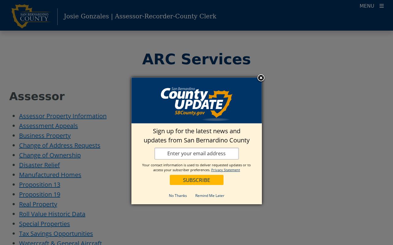
The assessor-services image reinforces the countywide nature of the address trail. Yucaipa parcels are searched through San Bernardino County systems even when the street is inside the city.
Yucaipa GIS and the Adjacent Lot Method
The county Assessor Parcel Access map and Assessor Maps viewer work as a visual pair. Search or geocode the target address, zoom until parcel polygons are clear, select the parcel, and open its attributes. Then close the popup and click each touching lot. Pan along both street faces and record the APN, situs, roll owner, and mailing-versus-situs relationship. The map may show a city line, district, aerial, or other context, but a layer is not a people radius.
San Bernardino County announced completion of a countywide Esri Parcel Fabric modernization in May 2026, covering more than 820,000 parcels and unifying parcel boundaries, assessor maps, and land records. That initiative makes the parcel map an important current research surface, while the online record still needs confirmation in the assessor or recorder system. Use the GIS for geometry. Use the legal description and recorded image for title detail.
The county parcel modernization announcement explains the countywide map project.
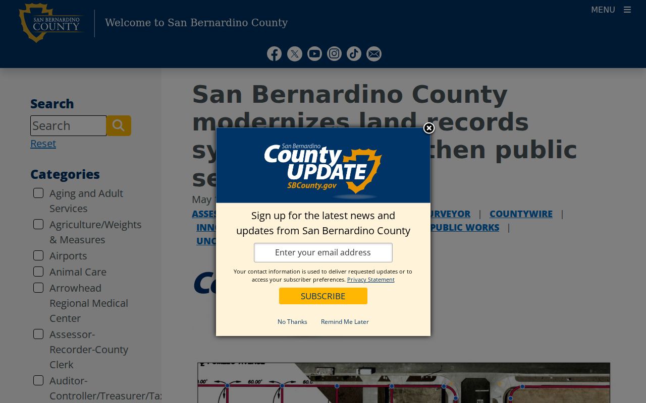
The modernization image supplies local context for map-based street work. It does not replace the parcel card or the recorded instrument for a specific lot.
Yucaipa Situs, Mailing, and Legal Address Layers
Three address concepts appear again and again in a Yucaipa street directory. Situs is the physical location of the parcel. A tax mailing address is where county correspondence is sent. A legal description identifies the land through lot, block, tract, or metes-and-bounds language. Older records may continue to use a valley or rural label after the modern street name is familiar. A parcel split or merger can also change the relationship between a street number and an APN.
- Parcel
- A county-mapped unit of land with an APN and boundaries.
- Situs address
- The physical location used to identify the property, not a promise about who lives there.
- Plat
- A recorded map showing a subdivision's lots, blocks, streets, and sometimes easements.
- Legal description
- The formal land identity that can remain useful when a street label changes.
When a modern address produces no historic hit, search the APN, tract, lot and block, then try Yucaipa Valley or Crafton as a locality term. Research did not verify a blanket Yucaipa street-renumbering event. A change must be proved parcel by parcel through plats, permits, city resolutions, assessor maps, or directory comparison. Guessing a renumbering year can attach a real family to the wrong lot.
Yucaipa Deeds Along a Street
The Recorder's Index does not accept a street address as an ownership search. For each parcel, use the current assessor owner as a grantee, then select the recorded instrument that matches the APN, legal description, and likely acquisition date. A deed may identify a grantor and grantee. A deed of trust, lien, release, or reconveyance adds a different part of the transaction story. Search both the buyer and seller when walking a street parcel by parcel.
Online index results show the locator fields, not the full deed. An ordered image or counter copy is needed for the legal description, signatures, and substantive terms. San Bernardino County also says maps may be purchased only at the Hall of Records in San Bernardino, even though other recorder services are available in Hesperia. That distinction matters when a plat is the only way to resolve an older street label.
The ARC forms and fees page is the current route for copy and map information.
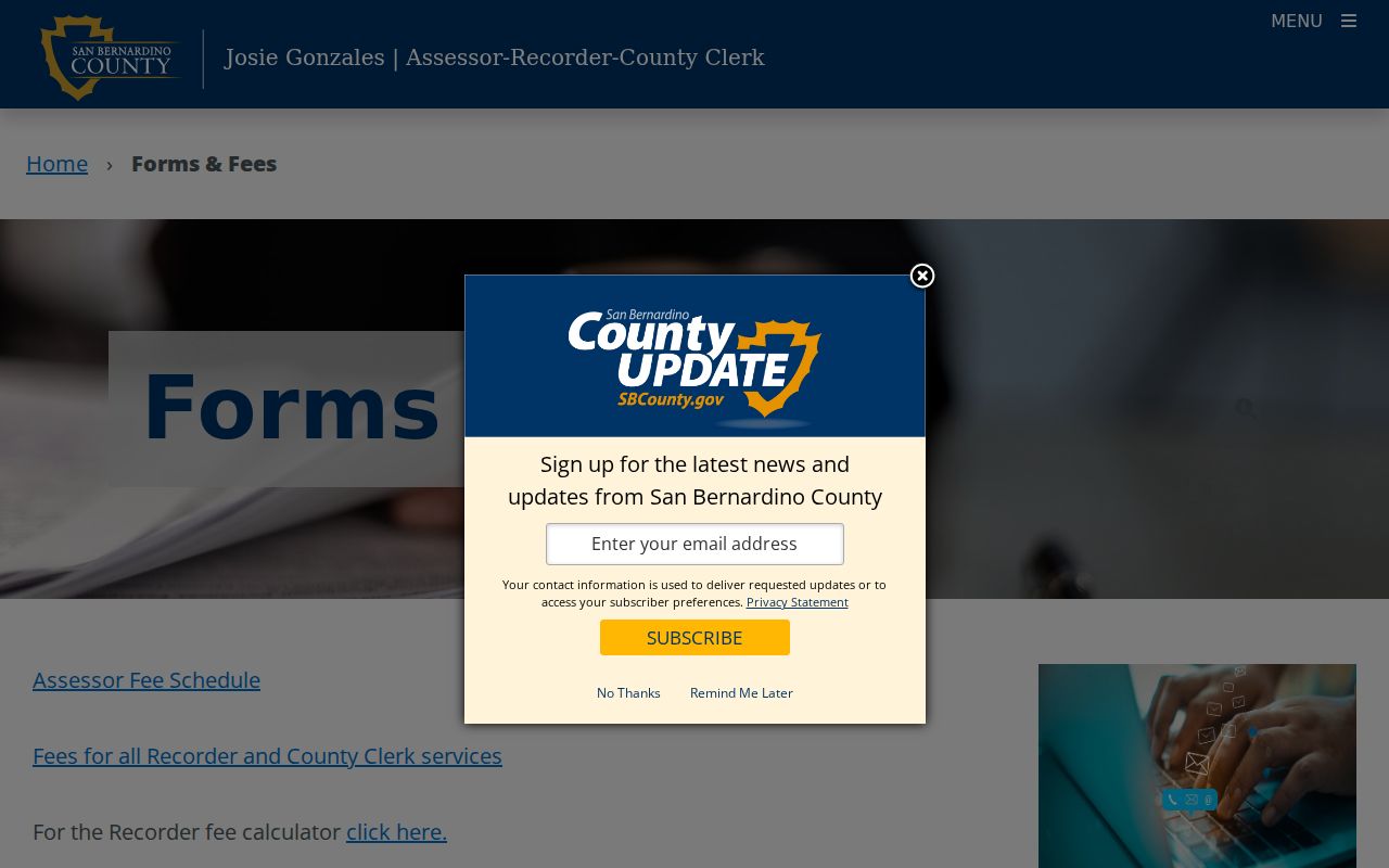
The forms image belongs beside the reminder that the free address-record layer is an index. The instrument or map is the evidence needed to settle a parcel match.
Yucaipa Permit Exchange and Code Files
Yucaipa's Permit Exchange is the local address-evidence tool. The city describes it as a route to building-permit status, code-enforcement complaints, and property information, with possible maps, plans, and project documents. The public-facing module does not expose a stable complete field inventory. Start with an exact address or APN, record the permit or case identifier, and save the date, status, applicant, contractor, and property details only when they are displayed.
A permit applicant is evidence of involvement in construction or a city process, not proof of residence. A code complaint can document an administrative event while the complainant's identity remains private or redacted. City permit authority also depends on jurisdiction. County GIS can show parcels continuously across the city and unincorporated edge, but Permit Exchange covers city jurisdiction. Test the boundary before assuming City Hall holds the file.
When the public module stops at a summary, ask for an existing permit jacket, plan, map, certificate of occupancy, address assignment, or code case under the California Public Records Act. Name the address, APN, date range, department, and requested format. Ask to inspect the electronic record before ordering copies.
Yucaipa's Regional Reverse Directory Clue
A historical street directory is a different tool from the current parcel map. NARA identifies San Bernardino regional city directories that include Yucaipa Valley in 1927, 1929, 1931, and 1933. If a volume has a street or reverse section, find the street name, locate its numbered block, and read entries in address order. Then return to the alphabetical section for occupation, spouse, or business detail. The source inventory did not verify that every Yucaipa volume has a reverse section, so inspect the table of contents first.
Later telephone or criss-cross books may place a number before a name, but the exact Yucaipa title and year run were not published by an official catalog. A blank street section can mean a rural omission, an unlisted household, a move, a timing gap, or a missing page. It is not proof that no one lived there. The Yucaipa city directory collections page explains the regional shelf and year-pairing method.
Yucaipa Street Directory or 92399 Mailing Address?
Yucaipa's principal postal ZIP is 92399, but USPS delivery territory and incorporated city limits are different layers. A 92399 mailing identity can extend beyond the city boundary, while an address near a regional edge may require a different postal city. Nearby 92320, 92374, and 92373 results can appear in service or market tools without becoming ordinary Yucaipa postal coverage. Use USPS address verification and county GIS together.
This matters for permits, police service, voting district, tax questions, and school assignment. A street directory record should state whether the address is a city parcel, a county parcel near the edge, or simply a mailing address. The assessor and recorder remain countywide, but Permit Exchange follows city jurisdiction. The ZIP narrows mail delivery. It does not settle the legal custodian.
What a Yucaipa Street Directory Cannot Show
No public street directory supplies a complete list of non-owner household members, minors, utility customers, delivery customers, or people who receive mail at an address. DMV address data is protected by the federal Driver's Privacy Protection Act and state law. Protected voter addresses, confidential complainants, and Safe at Home participants may be absent or represented by a substitute address. A homestead flag, mailing match, or directory entry can be a clue, never a complete occupancy record.
Lawful use. Yucaipa address records are for personal, lawful research and civic understanding. Do not use a street or parcel trail to stalk, harass, intimidate, or harm anyone.
For a current question about one person, use the Yucaipa resident lookup workflow and keep the name tied to an independent date or role. For the whole street, retain one row per parcel and cite the custodian rather than publishing a guessed household list.
Build a Clean Yucaipa Street Evidence Table
A useful address-evidence note is compact and auditable. Put the situs and APN in the first columns. Add the source, result date, record role, and a confidence note. For deeds, add document number, date, grantor, grantee, and whether an image was viewed. For permits, state whether the name was an applicant, owner, or contractor. For historical directories, preserve the volume year and the exact locality label. Do not turn a mailing address into a claim about residence.
| Parcel identity | Exact situs, APN, lot, block, tract, and map source. |
|---|---|
| Current ownership clue | Assessment-roll owner and the date the parcel card was checked. |
| Recorded trail | Document number, date, title, parties, and image or index status. |
| Address event | Permit, code, plan, or public meeting record with its role label. |
| Historical clue | Directory, census, newspaper, or obituary title and year. |
The result is a street-by-street record trail, not a promise that every person on the street is visible. That boundary is what makes this address method accurate enough to support family history, property curiosity, and public-record research.